File:Americanindiansmapcensusbureau.gif

Size of this preview: 800 × 594 pixels. Other resolutions: 320 × 238 pixels | 640 × 476 pixels | 1,024 × 761 pixels | 1,280 × 951 pixels | 2,560 × 1,902 pixels | 3,456 × 2,568 pixels.
Original file (3,456 × 2,568 pixels, file size: 647 KB, MIME type: image/gif, 0.2 s)
Summary
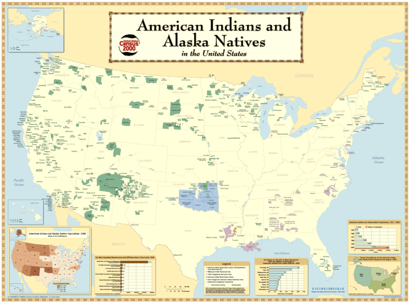
- Description: American Indian Reservations.
- Source: http://www2.census.gov/geo/maps/special/aian_wall/us_wall100.htm

Licensing
This image or file is a work of a United States Census Bureau employee, taken or made as part of that person's official duties. As a work of the U.S. federal government, the image is in the public domain.
|
 |
File history
Click on a date/time to view the file as it appeared at that time.
| Date/Time | Thumbnail | Dimensions | User | Comment | |
|---|---|---|---|---|---|
| current | 17:24, 1 August 2006 | | 3,456 × 2,568 (647 KB) | Darkone | |
| 10:34, 18 November 2005 |  | 799 × 594 (152 KB) | Napa | *Describtion: Amerian Indian Reservations *Source: http://www.census.gov/geo/www/maps/aian_wall_map/aian_wall_map.htm {{PD-USGov}} Category:Maps of ethnic groups Category:Maps of the United States |
File usage
The following page uses this file:
Global file usage
The following other wikis use this file:
- Usage on ast.wikipedia.org
- Usage on ca.wikipedia.org
- Usage on cs.wikipedia.org
- Usage on de.wikipedia.org
- Usage on en.wikipedia.org
- Usage on es.wikipedia.org
- Usage on fa.wikipedia.org
- Usage on fr.wikipedia.org
- Usage on hi.wikipedia.org
- Usage on incubator.wikimedia.org
- Usage on ja.wikipedia.org
- Usage on kn.wikipedia.org
- Usage on lt.wikipedia.org
- Usage on pl.wikipedia.org
- Usage on pnb.wikipedia.org
- Usage on rm.wikipedia.org
- Usage on simple.wikipedia.org
- Usage on sv.wikipedia.org
- Usage on uk.wikipedia.org
- Usage on ur.wikipedia.org
- Usage on zh.wikipedia.org