File:1888 districts Congo Free State cropped from 1950 administration map Atlas General du Congo 611.jpg
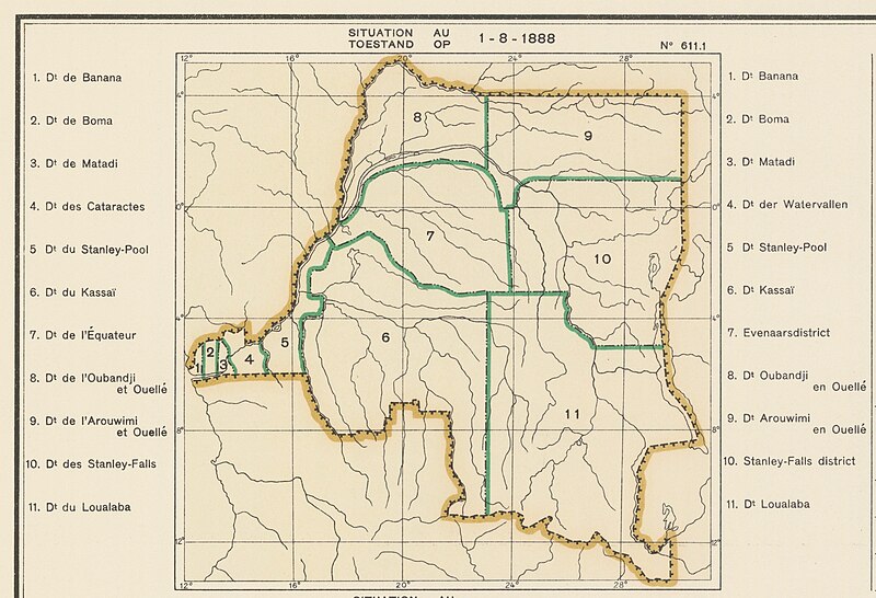
Size of this preview: 800 × 546 pixels. Other resolutions: 320 × 218 pixels | 640 × 437 pixels | 1,024 × 699 pixels | 1,280 × 873 pixels | 2,560 × 1,747 pixels | 3,667 × 2,502 pixels.
Original file (3,667 × 2,502 pixels, file size: 4.94 MB, MIME type: image/jpeg)
Summary
| Description |
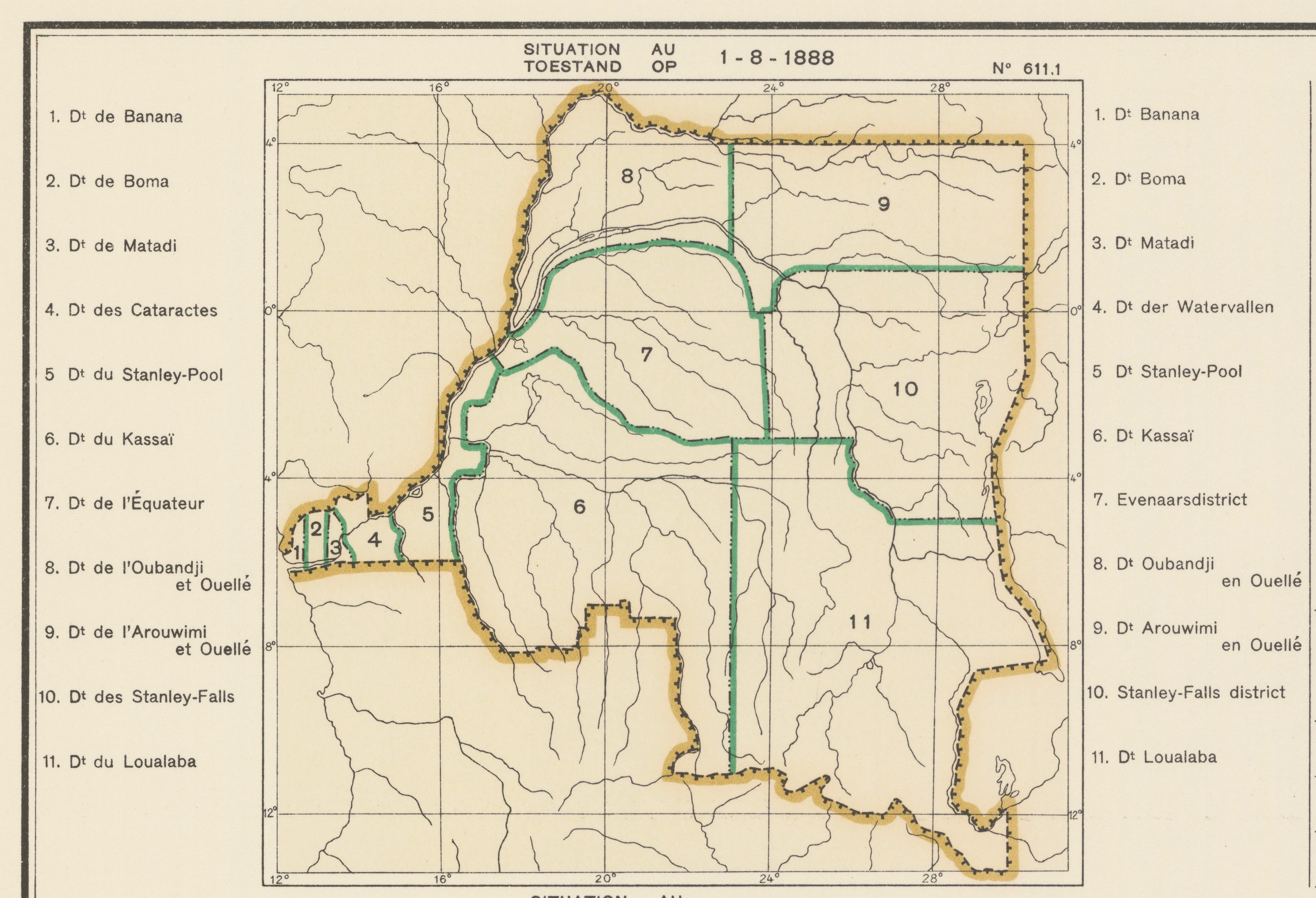
Français : Carte des subdivisions administrative
Nederlands: Kaart der administratieve indelingen |
| Date | |
| Source | Atlas général du Congo / Algemene atlas van Congo (in fr, nl), Belgium: Institut Royal Colonial Belge, 1948-1963, OCLC 681334449 / http://www.kaowarsom.be/en/online-maps |
| Author | Institut Royal Colonial Belge |
| Other versions | File:1950_administration_map_Atlas_General_du_Congo_611.jpg |
Licensing
This file is licensed under the Creative Commons Attribution-Share Alike 4.0 International license.
- You are free:
- to share – to copy, distribute and transmit the work
- to remix – to adapt the work
- Under the following conditions:
- attribution – You must give appropriate credit, provide a link to the license, and indicate if changes were made. You may do so in any reasonable manner, but not in any way that suggests the licensor endorses you or your use.
- share alike – If you remix, transform, or build upon the material, you must distribute your contributions under the same or compatible license as the original.
File history
Click on a date/time to view the file as it appeared at that time.
| Date/Time | Thumbnail | Dimensions | User | Comment | |
|---|---|---|---|---|---|
| current | 14:23, 13 October 2017 | | 3,667 × 2,502 (4.94 MB) | M2545 | == {{int:filedesc}} == {{Information |Description={{fr|1=Carte des subdivisions administrative }} {{nl|1= Kaart der administratieve indelingen }} |Source={{citation |oclc=681334449 |language=fr, nl |publisher= Académie Royale des Sciences Coloniales |... |
File usage
The following page uses this file:
Global file usage
The following other wikis use this file:
- Usage on en.wikipedia.org
- Usage on es.wikipedia.org
- Usage on fr.wikipedia.org